Commack-raised entertainer brings deeply personal solo performance exploring loss, motherhood, reinvention and starting over after… Read More →

Commack-raised entertainer brings deeply personal solo performance exploring loss, motherhood, reinvention and starting over after… Read More →

National Weather Service warns swimmers across Long Island’s south shore, including East End beaches, of… Read More →

Evelyn Alexander Wildlife Rescue Center brings rehabilitated raptors to Landcraft Garden Foundation for a family-friendly… Read More →

Three-day event July 28-30 features professional beach volleyball, youth clinics, wellness experiences and community fundraising… Read More →

Nearly 240 guests attended the annual event supporting French Heritage Society’s preservation and educational programs.… Read More →

Women’s health advocates joined supporters at Maidstone Club as the annual East Hampton fundraiser surpassed… Read More →

Award-winning actress brings Tony-nominated solo play to the Hamptons for one-night-only reading presented by The… Read More →

Police say a 63-year-old Bronx man drove through the gated entrance of the couple’s Georgica… Read More →

Designers, collectors and history enthusiasts gathered in East Hampton to support the Historic House Trust… Read More →

Stefan Soloviev has amassed one of the largest private land holdings in America. Now, his… Read More →
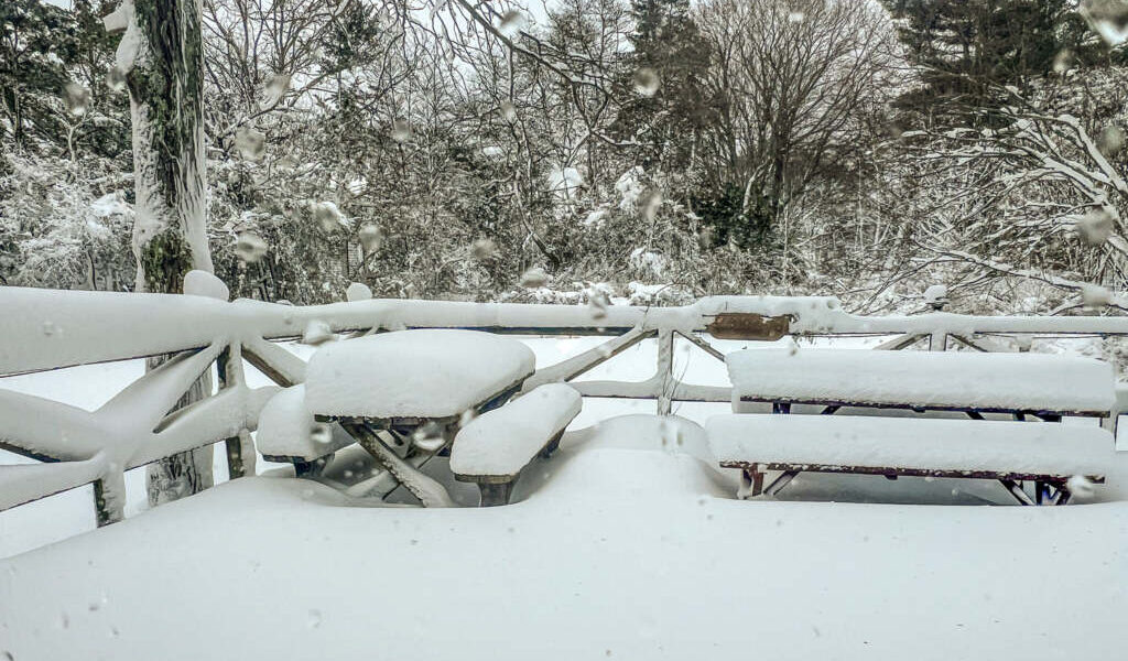
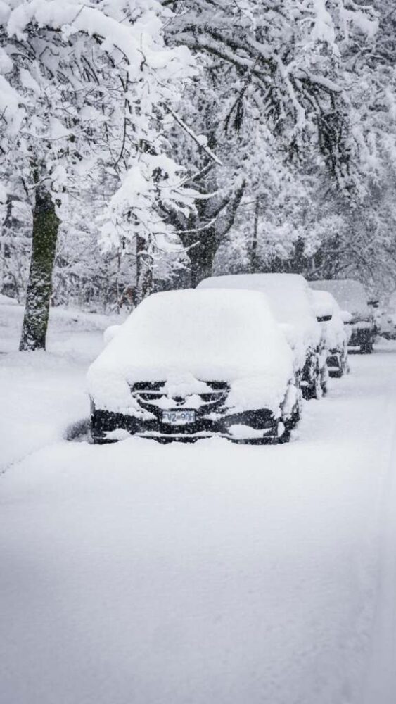
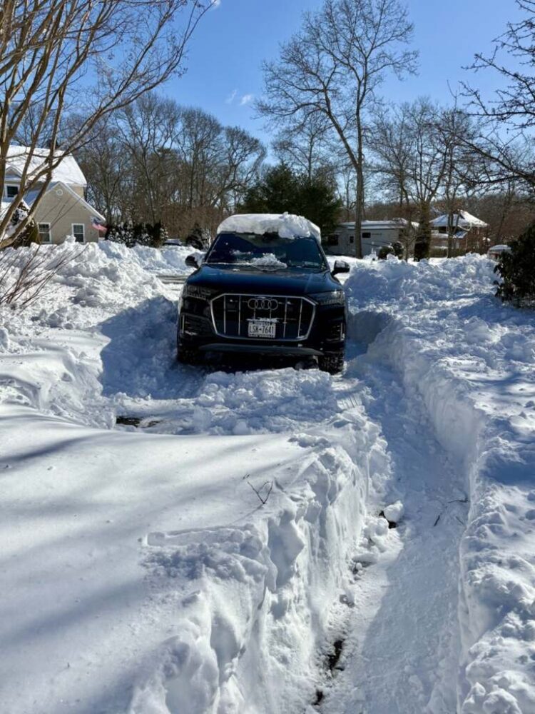
The storm, which has now pulled out to sea, delivered hurricane-force wind gusts, widespread whiteout conditions and more than two feet of snow across large swaths of the Tri-State area. Cleanup is well underway, but lingering impacts — from black ice to transit delays — remain across NYC and Suffolk County.
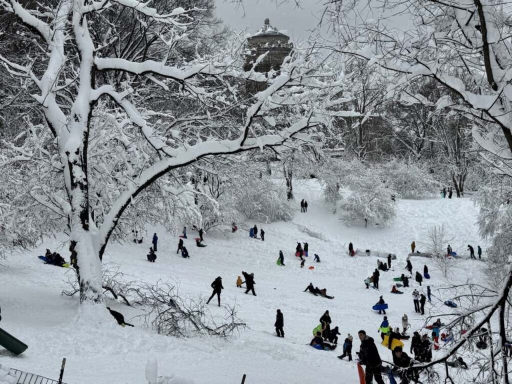
In Manhattan, Central Park recorded 19.7 inches, ranking as its ninth-largest snowstorm on record.
But it was Long Island — particularly Suffolk County — that bore the brunt of the blizzard’s fury.
At Long Island MacArthur Airport in Islip, 29.1 inches fell, making it the largest snowstorm on record there. Nearby Central Islip topped the region with 31 inches, while multiple Suffolk communities surpassed 30 inches.
Peak wind gusts were equally staggering:
Those readings are comparable to a Category 1 hurricane. Even after snowfall tapered Monday afternoon, gusts over 40 mph combined with deep snowpack to sustain blizzard conditions across much of Long Island.
Suffolk emerged as one of the storm’s biggest “winners,” with widespread 25- to 30-inch totals. Notable snowfall reports include:
In Nassau County, totals ranged from the low- to mid-20s, including:
Elsewhere in the region, Newark recorded 27.1 inches — its second-largest snowstorm — and parts of New Jersey topped 30 inches.
Photo: Cole Wyland

New York City’s Sanitation Department declared an official “end of storm” at 4:30 p.m. Monday, triggering the clock for property owners to clear a four-foot path or face fines.
Public transit is slowly coming back online. The Long Island Rail Road resumed limited service at 4 a.m. Tuesday on the Ronkonkoma, Huntington, Babylon, Oyster Bay, Montauk and Port Washington branches. Montauk trains are operating between Speonk and points west, and there is currently no service to or from Grand Central. Riders are urged to check the TrainTime app before traveling and allow for extra time.
Metro-North Railroad is operating on an enhanced Saturday schedule, with roughly two-thirds of routes running.
New York City Public Schools reopened Tuesday, though officials said students may be excused for weather- or transportation-related delays. On Long Island, many districts opted for closures or delayed openings as plows continue clearing neighborhood roads.
Officials are also warning of overnight refreezing as melting snow turns to black ice.
While nothing will rival the historic blizzard, two additional systems are on the horizon this week:
Neither system is expected to significantly impact the region compared to what is now one of the top 10 snowstorms in New York City history — and an all-time benchmark for parts of Suffolk County.
For now, Long Islanders are digging out from what will likely be remembered as one of the most powerful winter storms to hit the East End in decades.
Keep in mind: 24 days until the first day of Spring. (Check out out the Blizzard of 2026 Snow Pics across the East End and in NYC.)