SPARK was there as the young designer unveiled his first fabric collection at Mood Fabrics’… Read More →



SPARK was there as the young designer unveiled his first fabric collection at Mood Fabrics’… Read More →

‘East End Collected’ Brings a New Wave of Artists to Southampton Arts Center The much-anticipated… Read More →

The 15-time Emmy Award-winning journalist and television host talks Season 8 of her hit game… Read More →
Veteran East End photographer catches a glowing, end-of-summer rainbow at Ponquogue Beach by Jim Lennon… Read More →

The invitation-only Hamptons car show celebrated its 10th anniversary with rare collector cars, supercars and… Read More →

The celebrated artist marked his first New York City exhibition in five years with an… Read More →

Canoe Place Inn & Cottages and Faraway Sag Harbor earn their first Michelin Keys, while… Read More →
The King of All Media signed a splashy HBO Max deal promising fans a seat… Read More →
Federal lawsuit alleges the 21-year-old drove a Farrell Building pickup over a sunbather at West… Read More →

Southampton Village Police are asking for help identifying two women caught on camera stealing a… Read More →
Fall has barely begun, and a developing nor’easter could put a damper on one of the season’s first big celestial events.
Saturday’s Harvest Moon is set to rise over Long Island and New York City just as a coastal storm could bring rain, strong winds and clouds to the region — potentially obscuring the full moon that skywatchers have been waiting to see.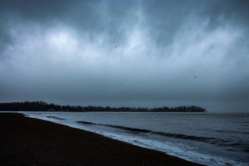
But a blocked moon view may be the least of the concerns.
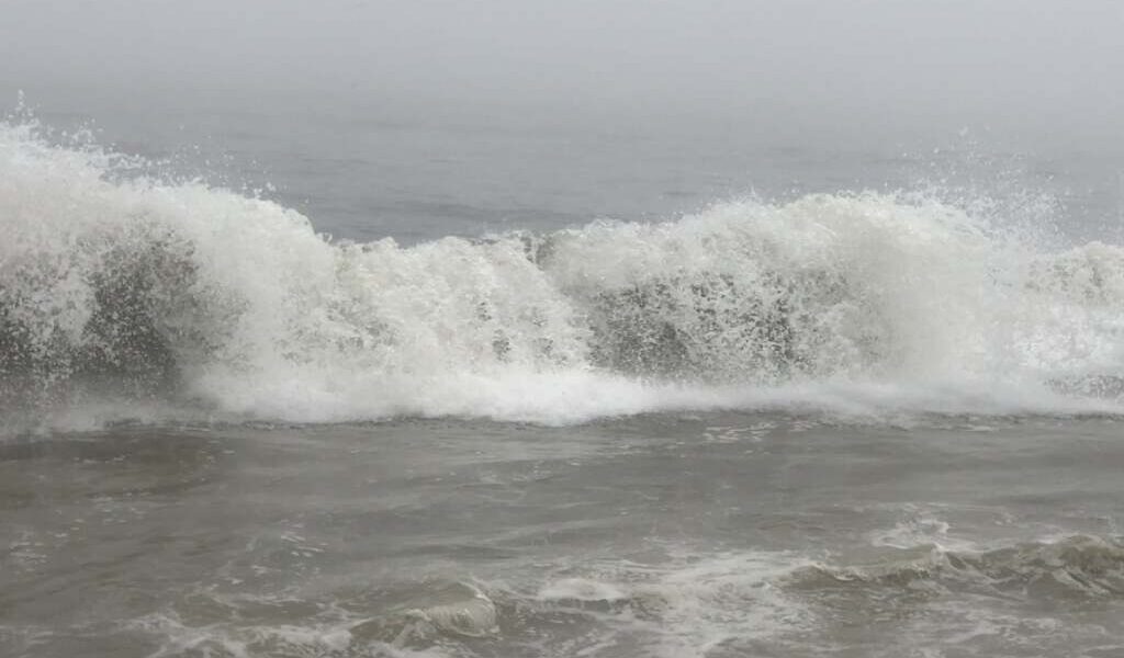
The National Weather Service is tracking a developing coastal low that could bring strong winds, coastal flooding, high surf, dangerous rip currents and beach erosion to the region Friday through Sunday, with eastern Long Island particularly exposed to coastal impacts.
The precise track remains the big question. There is still uncertainty over how close the storm comes to Long Island and how long it lingers, which will help determine how much rain falls and how strong the winds become on land.
For the Hamptons, North Fork and the rest of Suffolk County, however, this is increasingly looking like more than a one-day weather event.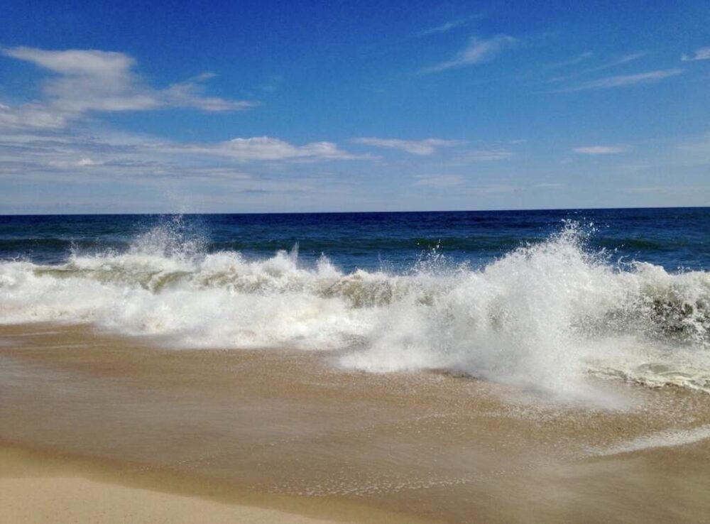
Northeast winds are already building across the region and are expected to remain a factor through the weekend.
As of Thursday, a gale warning was in effect for ocean waters from Moriches Inlet to Montauk Point through Friday afternoon. Peconic and Gardiners bays were under a small craft advisory through Friday morning, followed by a gale warning Friday.
A high risk of rip currents also remained in effect for southeast Suffolk County through Friday afternoon.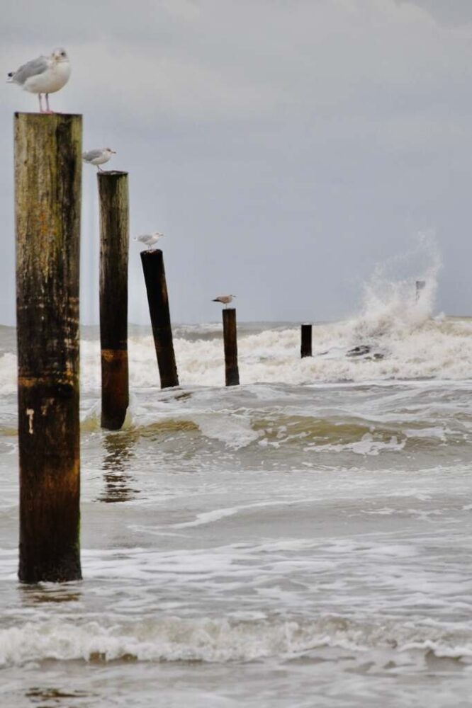
Rain becomes more likely Friday and into the weekend, but rainfall totals remain less certain. A storm that tracks farther offshore would mean less rain for much of the region; a shift closer to Long Island could bring wetter conditions, particularly across eastern Suffolk County.
That uncertainty means the weekend is not necessarily destined to be a complete washout. But residents and visitors should expect a windy, unsettled stretch from Friday through Sunday, with the East End particularly exposed to coastal effects.
Even if the center of the storm remains offshore, the coastline could take a beating.
Persistent northeast winds can produce rough surf, dangerous rip currents and beach erosion, while repeated high-tide cycles could bring coastal flooding to vulnerable areas.
Those concerns extend across ocean beaches and other low-lying waterfront areas, where prolonged onshore winds can push water toward the coast over multiple tide cycles.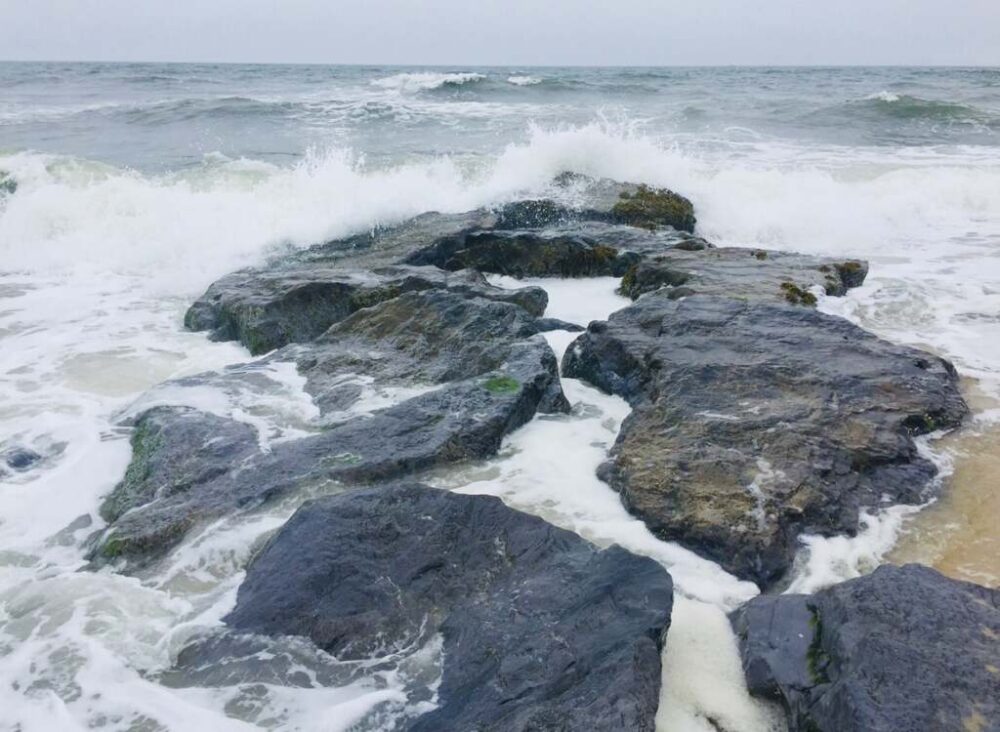
Boaters and beachgoers should closely monitor changing marine forecasts and advisories, particularly as conditions deteriorate offshore.
The celestial timing could make the coastal situation more problematic.
The Harvest Moon — the full moon closest to the autumnal equinox — arrives Saturday, Sept. 26. Full moons produce higher astronomical tides, and this one will coincide with days of persistent onshore winds and a developing coastal storm.
That combination could aggravate coastal flooding and erosion, particularly around high tide.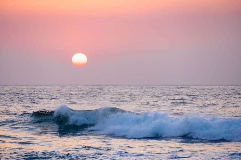
In other words, even if rainfall totals ultimately come in on the lower side, water could still be one of the biggest stories along parts of the Long Island coastline.
And for anyone hoping to catch the Harvest Moon rising Saturday night, clouds, rain and wind could make viewing difficult across Long Island and New York City.
New York City is expected to feel the effects of the coastal system as well, although the East End may see stronger coastal impacts.
Windy conditions and periods of rain are possible in the city Friday through Sunday, along with coastal concerns around vulnerable waterfront areas.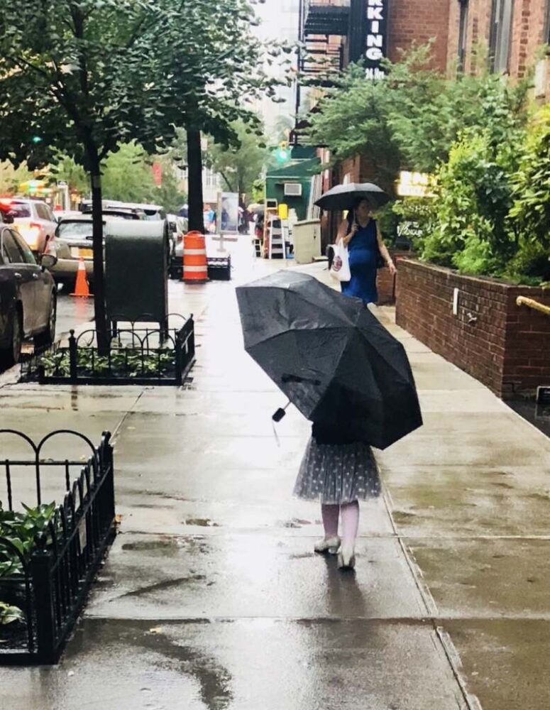
Atlantic-facing beaches in Brooklyn and Queens could also see dangerous surf and rip currents as the storm churns offshore.
As with Long Island, relatively small changes in the storm track could make a significant difference in how much rain and wind New York City ultimately receives.
Friday: Cloudy and increasingly windy, with showers possible. Coastal impacts increase as the storm develops offshore.
Saturday: Windy with periods of rain possible. The Harvest Moon brings higher astronomical tides, adding to concerns about coastal flooding and erosion.
Sunday: Wind and rain may linger, depending on how quickly the coastal storm moves away.
The forecast is still evolving, and the storm’s exact track will determine how much rain and wind Long Island and New York City ultimately get. But several days of rough coastal conditions remain a concern regardless of whether the center of the storm makes a closer approach.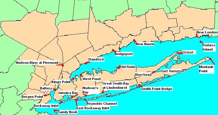
East Hampton Town is already taking precautions ahead of the storm, with officials coordinating across police, emergency preparedness, highway, harbormaster and maintenance departments.
According to the town, storm drains and catch basins have been cleared, lifeguarding equipment has been removed from beach areas, and personnel and equipment are being readied to respond if needed.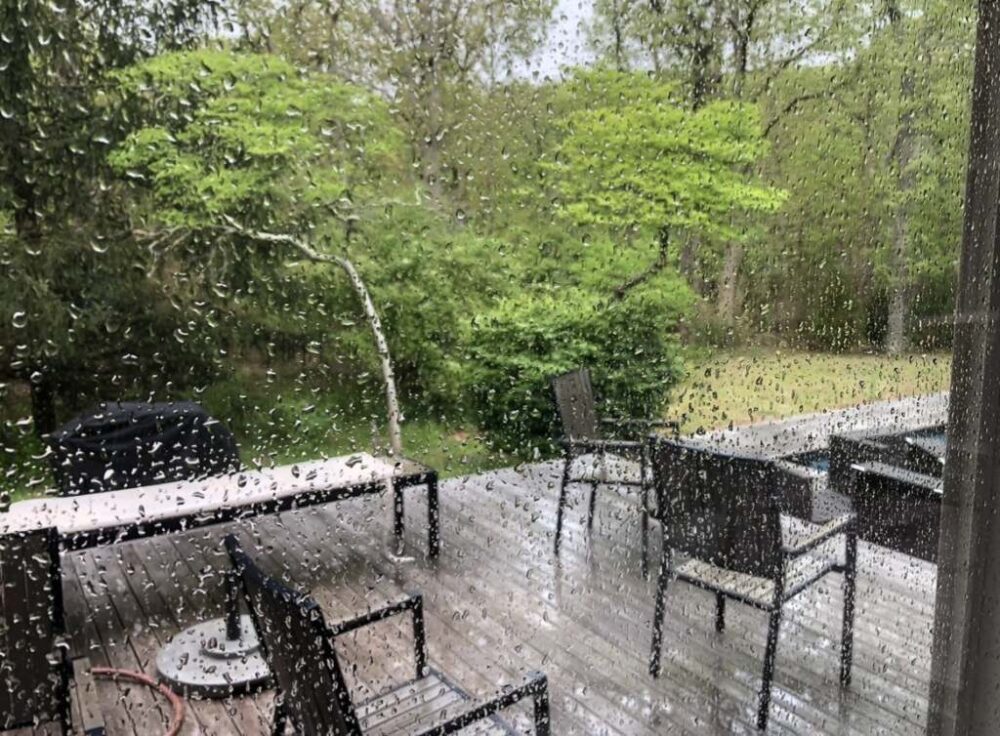
Residents can make preparations of their own before conditions deteriorate:
If you encounter a downed power line, stay well away from it and assume it is live. Do not touch the wire or anything it may be contacting.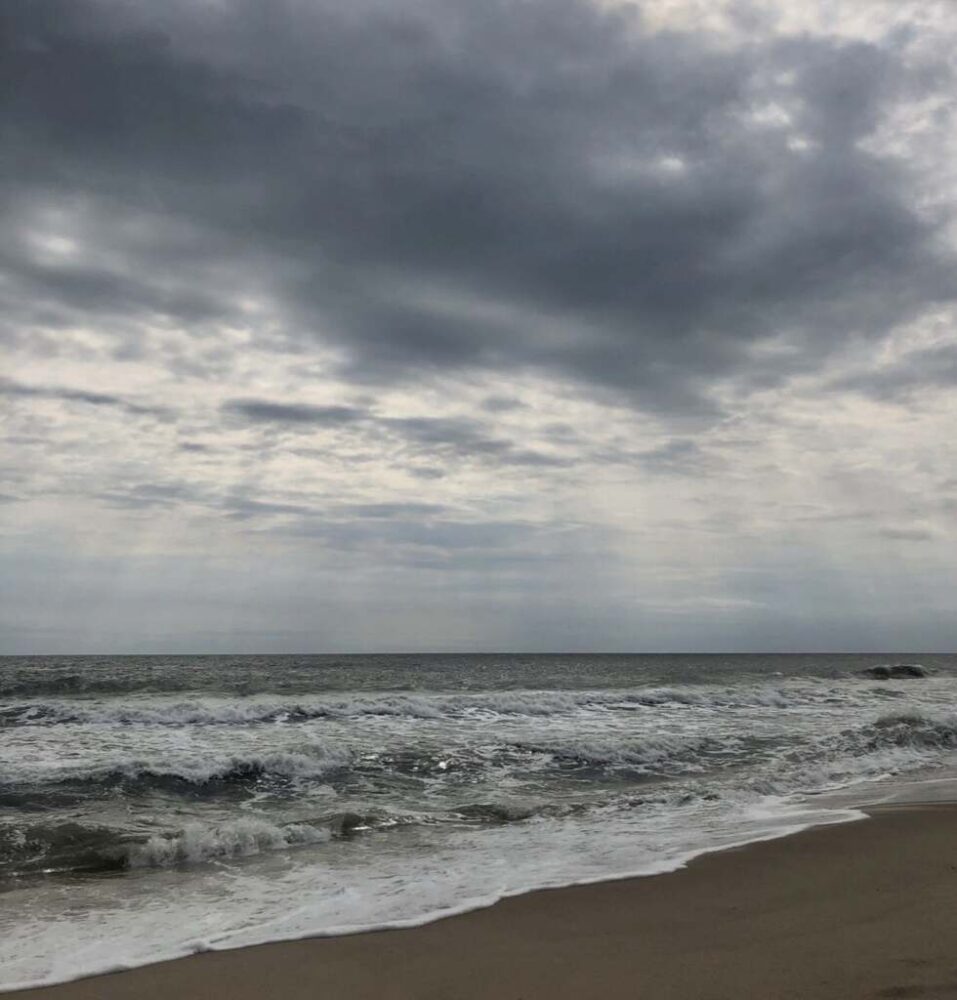
National Weather Service — New York/Upton: The primary source for updated forecasts, watches and warnings, coastal flooding, high surf, rip currents and marine conditions for Long Island and the New York City area.
Website: weather.gov/okx
SuffolkAlert: Suffolk County’s official emergency notification system provides emergency and severe-weather alerts.
Website: suffolkcountyny.gov/alerts
Suffolk County Emergency Information: County emergency information and local emergency contacts.
Website: suffolkcountyny.gov
Power Outages and Downed Wires — PSEG Long Island: Report or check an outage by calling 800-490-0075, using the PSEG Long Island app or online, or texting OUT to PSEGLI (773454). Text STAT to the same number for outage status. Downed wires should be reported by phone.
Website: psegliny.com/outages
East End 24-Hour Emergency Contacts:
East Hampton: 631-537-7575
Southampton: 631-728-5000
Riverhead: 631-727-4500
Southold: 631-765-2600
Shelter Island: 631-749-0600
In East Hampton, non-emergency reports of downed trees, large branches or roadway flooding can be made to East Hampton Town Police at 631-537-7575.
Notify NYC: The city’s official emergency notification service provides alerts about severe weather, flooding, transit disruptions, road closures and other emergencies.
Website: NYC.gov/NotifyNYC
NYC Emergency Management: Storm preparedness, emergency updates and information about coastal storms and flooding.
Website: NYC.gov/EmergencyManagement
Know Your Zone: New Yorkers can check whether an address is in one of the city’s hurricane evacuation zones and find evacuation information.
Website: maps.nyc.gov/hurricane
NYC 311: For non-emergency city services and storm-related information, call 311 in New York City or 212-639-9675 from outside the city.
Website: portal.311.nyc.gov
For a life-threatening emergency anywhere, call 911.